Portugal's Green Map for Solar and Wind Shrinks From 7% of the Mainland to 4%, With Each Council Held to 1% of Its Own Land
The Council of Ministers approved the PSZAER on Thursday, pre-clearing more than 800 areas for solar and wind across 147 of the mainland's 278 municipalities. Environmental, agricultural, water and heritage limits cut the mapped share almost in half.
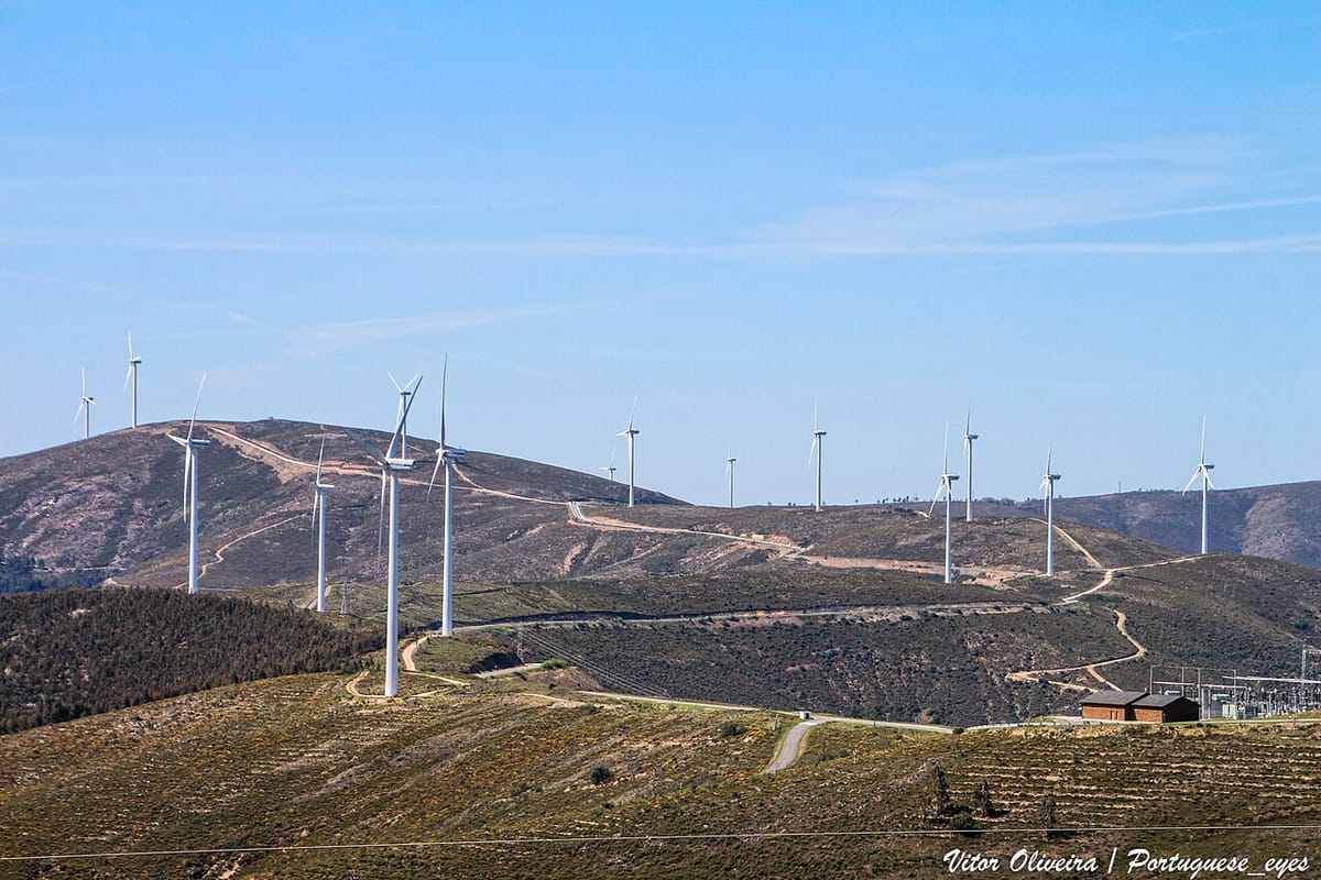
Portugal's "green map" for solar and wind power was finally approved by the Council of Ministers on Thursday, and the version that emerged is considerably smaller than the one that went out for consultation. The share of mainland territory marked as suitable has been cut from 7% to 4%, and inside each participating municipality the area that can actually be occupied is capped at 1% of the council's land.
The instrument is the Programa Setorial das Zonas de Aceleração da Implantação de Energias Renováveis, or PSZAER. It identifies more than 800 areas with potential for solar photovoltaic and onshore wind plants. According to figures the Ministry of Environment and Energy supplied to Observador, those areas sit in 147 of continental Portugal's 278 municipalities.
What the map actually does
The programme is a pre-clearance exercise rather than a licensing decision. It identifies in advance the territories judged most suitable for solar and wind, so that developers who build there face a faster and more predictable path through the permitting system.
A location inside a zona de aceleração de energias renováveis (ZAER) qualifies a project for a quicker licensing procedure, resting on the strategic environmental assessment already carried out for the programme as a whole and on the environmental and territorial rules it sets. That does not amount to a blanket exemption. Where significant negative environmental impacts are identified that were not anticipated and cannot be mitigated, the project still goes through a full environmental impact assessment.
The map is the product of technical analysis, a strategic environmental assessment, public consultation and the responses of municipalities and other bodies. It maps the universe of territorially and environmentally suitable land; the councils then draw the actual ZAER inside it, at local scale.
Why the area shrank
António Leitão Amaro, the minister of the Presidency, pointed to the layers of constraint that ate into the original 7%: environmental, agricultural, water-related and cultural-heritage limits, along with administrative easements and other restrictions.
The 1% municipal ceiling is the more consequential number. In the ministry's formulation, "as a rule, each municipality should include in its territorial plans an area corresponding to at least 1% of its territory, considered globally and regardless of the technology (with the possibility, where duly justified, of defining a smaller area)."
Read carefully, 1% is a floor expressed as a target rather than a hard cap, and councils can justify going lower. In practice it puts a tight bound on how much new capacity can be fast-tracked in any one place, which is exactly what several inland councils had been demanding. Sabugal rejected two proposed acceleration zones in July over fire and land-use fears, and civic groups in the Beira Baixa have run a sustained campaign against the idea that the interior is available for unlimited siting.
What this means for you
- Rural property owners: check whether your council falls inside the 147 and where the mapped areas sit, because the ZAER boundaries have to be written into municipal master plans (PDMs) before anything is built.
- Prospective buyers of land: a plot inside a mapped area is not automatically developable, but its planning treatment differs from land outside one.
- Households: the programme is about grid-scale plants, not rooftop panels. Your own self-consumption installation is governed by a separate regime.
- Next step: the councils. Nothing accelerates until municipalities amend their territorial plans, and that is entirely within local competence.
Portugal already produces a very high share of its electricity from renewables, and the RED III diploma promulgated in June set up the legal machinery for this map. What Thursday's decision reveals is how narrow the politically survivable version of it turned out to be: from 7% of the country to 4%, and from there to 1% of any given council.