Thunderstorm Warnings in the South on Sunday, Then Highs Fall to About 20 °C in Lisbon and Nights Near 3 °C Inland
IPMA has four southern districts on yellow alert for thunderstorms on Sunday. Its forecasts then show a dry, fresher week, with Lisbon near 20 °C and the first cold nights inland, down to about 3 °C in Guarda and Bragança.
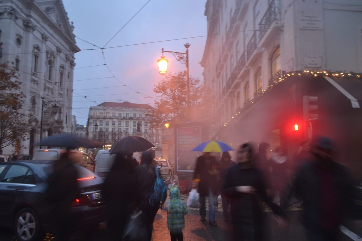
Mainland Portugal starts the week cooler and, in the south, wetter. The Portuguese Institute for Sea and Atmosphere (IPMA) has put the districts of Faro, Beja, Évora and Portalegre under a yellow warning for thunderstorms from 06:00 to 18:00 on Sunday 18 October. Over the next five days its forecasts, issued early on Sunday, show daytime highs in Lisbon, Porto and Évora slipping by 4 to 5 degrees and the first properly cool nights of the autumn inland.
Showers in the south, then a dry, fresher week
The descriptive forecast issued at 01:20 UTC on Sunday expects showers mainly in the south during the afternoon, possibly with hail and thunder. The warning text allows for 10 to 20 mm of rain in an hour, hail under 2 cm and gusts of 70 to 90 km/h where storms break out. A northeasterly wind will blow moderate to strong in the northern and central uplands, with gusts up to 70 km/h. On Monday showers and possible thunder stay with the Baixo Alentejo and the Algarve, and IPMA puts the chance of rain in Faro at 96 percent.
From Tuesday a west to northwest wind brings a further small fall in maximum temperatures. Wednesday may bring spells of light rain to the northern and central coast, especially the Minho and Douro Litoral in the morning, before highs edge up slightly again.
What the thermometer says, city by city
IPMA's five-day city forecasts, updated at 05:31 UTC on Sunday, give these lows and highs:
- Lisbon: 25 °C on Sunday, falling to about 20 °C from Tuesday; nights around 11 °C to 12 °C.
- Porto: 22 °C on Sunday, about 17 °C from Tuesday; lows of 9 °C to 10 °C, with a 45 percent chance of rain on Tuesday.
- Braga: 24 °C on Sunday, 19 °C to 20 °C later; lows of 6 °C to 7 °C.
- Évora: 25.5 °C on Sunday, about 22 °C later in the week; Thursday morning down to about 7 °C.
- Faro: 21 °C to 23 °C all week; lows falling from about 16 °C to 11 °C.
- Bragança: 15 °C to 17.5 °C; lows of 3.5 °C on Tuesday and 3.8 °C on Thursday. Guarda is forecast to reach just 3.1 °C on Monday morning.
That marks a clear turn from the late heat that made September the hottest on record and from the October heatwave forecast a week ago. It is not the rain the north needs: six northern basins were below their October average last week.
Sea, islands and what to do
On the west coast IPMA expects northwest waves of 1.5 to 2.5 metres on Sunday, easing to 1 to 2 metres; the south coast stays under 1 metre. Sea temperatures are 16 °C to 19 °C in the west and 19 °C to 21 °C in the south. Madeira has rain or showers on Sunday, heaviest on the north side and the high ground, with Funchal near 20 °C to 24 °C. Several Azores islands have rain or showers all week, with waves of 2 to 3 metres. No warnings were in force for either archipelago on Sunday morning.
- In the Alentejo and the Algarve on Sunday, allow extra time on the road. Slow down and leave a longer gap in heavy showers.
- Inland, nights near 3 °C to 7 °C mean it is time to check heaters and chimneys. Home wood fires produce about 43 percent of fine-particle pollution on the mainland, so burn only dry wood.
- Forecasts beyond two or three days change often. Check IPMA's warnings page before travelling.