An October Heatwave Is Likely Across Most of Mainland Portugal Next Week, With Highs Above 30 °C Possible in the Alentejo and the Tagus Valley
High pressure over Iberia brings clear skies, light winds and no rain from Monday. IPMA's city forecasts put Lisbon at 30.6 °C and Santarém at 31.7 °C on Wednesday.
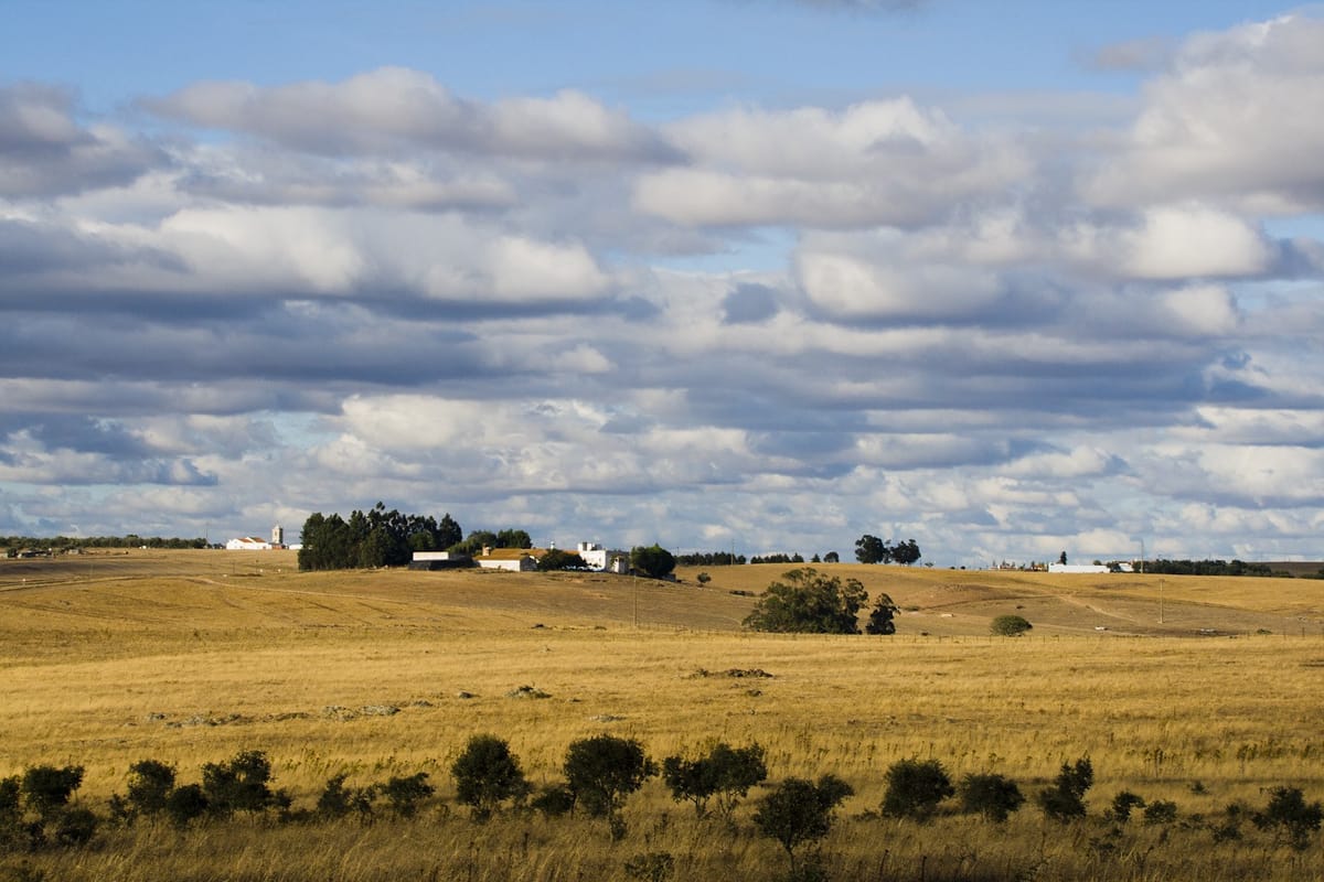
Summer is not quite finished with Portugal. The Instituto Português do Mar e da Atmosfera (IPMA), the national weather service, said in its weekly outlook for 12 to 18 October that "high temperature values" are expected across the mainland next week, and that "a heatwave is likely across a large part of the territory".
The cause is a high-pressure system settling over the Iberian Peninsula. IPMA expects it to bring clear or mostly clear skies, light winds, temperatures above normal for the time of year and no rain. Maximum temperatures should top 25 °C almost everywhere except some coastal spots, and may pass 30 °C in the Alentejo and the Tagus Valley. Nights will stay mild: minimums are unlikely to reach 20 °C, the institute said, but should sit between 14 and 18 °C, a little lower in the North.
What the city forecasts show
IPMA's own city forecasts, updated on Saturday morning, show the warmth building through the week, with no chance of rain recorded for any day up to Wednesday:
- Lisbon: 27.8 °C on Saturday, easing to about 25 °C on Monday, then 30.6 °C on Wednesday.
- Évora: 31.2 °C on Tuesday and 31 °C on Wednesday.
- Santarém: 31.7 °C on Wednesday.
- Porto: cooler, around 20 to 21 °C early in the week and 24.6 °C on Wednesday.
A heatwave has a precise meaning for IPMA: at least six consecutive days on which the maximum temperature runs 5 °C or more above the average for that day in the reference period. That is why the institute speaks of a likely heatwave rather than simply a hot spell, and why the word may still be dropped if the high pressure breaks down early.
Not unusual for October
Warm spells in October are "very frequent" on the mainland, IPMA noted. It counts seven October heatwaves since 2017, two of them in 2017 itself, and says only 2019 and 2020 passed without one.
This one would follow a record. IPMA has already found that September 2026 was the hottest September on record on the mainland, with daytime highs 4.21 °C above normal, after a summer that ranked as the third hottest since 1931.
What it means for you
Days above 30 °C in mid-October are uncomfortable rather than extreme, but the usual precautions apply: drink water regularly, keep out of the strongest sun in the middle of the day, and check on older neighbours and relatives, who feel prolonged heat most.
The bigger concern is dry vegetation. After a record-hot September, a week of sun, light wind and no rain raises the risk of rural fires. Anyone planning to burn garden or farm waste should check IPMA's daily fire danger map first, and remember that burning must be registered beforehand with the council or through the ICNF's online system, and is not allowed at the highest danger levels.
IPMA updates its forecasts twice a day and issues weather warnings on its website and app. If the heatwave materialises, its warnings for high temperatures, issued district by district, are the place to watch.