An Atlantic Depression Turns August Into Autumn From Sunday, With Thunderstorms and Three-Metre Seas
IPMA expects rain along the whole western coast on Sunday and heavier, thundery showers in the North and Centre on Monday, with gusts to 60 km/h and maximum temperatures down to 22 to 26 degrees. Its meteorologist calls the system more autumn than summer.
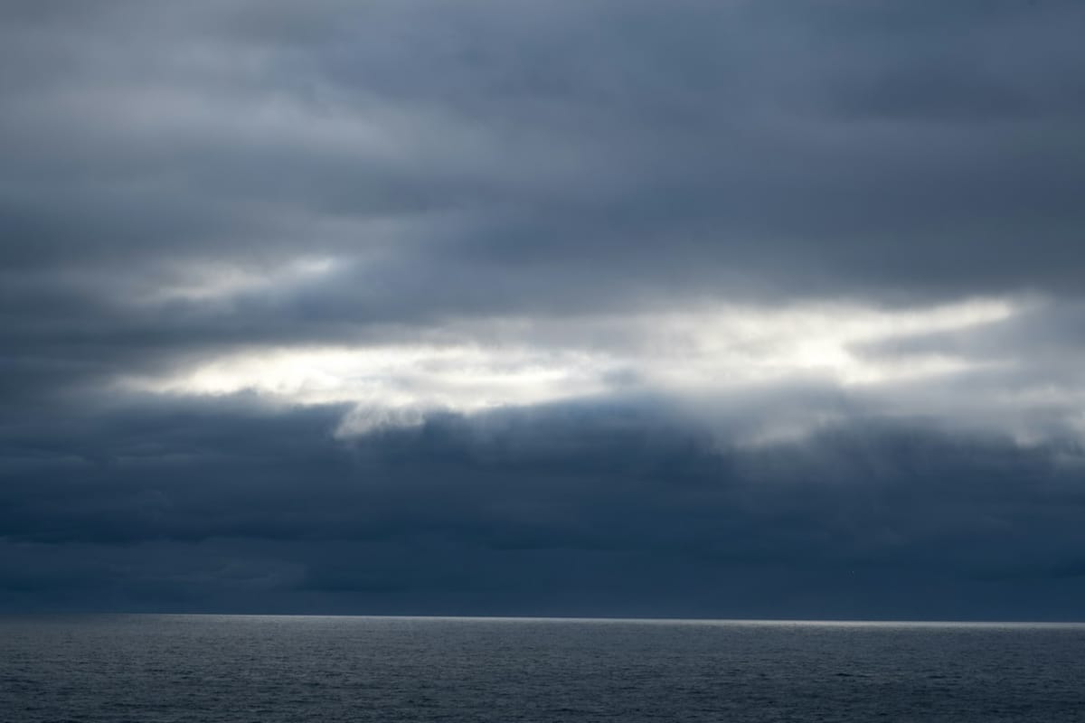
August is about to end early. IPMA, the Portuguese Institute for Sea and Atmosphere, said on Friday that a depression sitting northeast of the Azores, with a frontal surface tracking southeast, will approach the western coast of the mainland during Sunday and bring showers, heavy rain and thunderstorms to a country that has spent most of the month under heat warnings.
The institute's own meteorologist put it plainly. Angela Lourenco told Lusa that the system has "characteristics unusual for this time of year", and that they are "more of autumn than of summer". Frontal systems do occasionally wander off their normal summer track, she said, and this one will pass north of the Azores before reaching the mainland, a leg of the journey that could still change what arrives.
Sunday: a split country
On Sunday the interior stays hot and dry while the coast gets wet. IPMA expects precipitation along the whole western seaboard, from the Minho down to the western Algarve, turning more intense and thundery from the afternoon. Wind will blow from the southern quadrant, at times strong on the western coastal strip and over high ground during the afternoon.
If the depression moves faster than forecast, the first effects could be felt late on Saturday. Sunday remains the more likely scenario, and IPMA says it is still monitoring the track.
Monday: the sharper day
Monday looks like the more disruptive of the two. Showers become more frequent and more intense through the afternoon in the North and Centre, again with thunderstorms, and IPMA does not rule out localised extreme wind phenomena with gusts reaching 60 kilometres per hour. Maximum temperatures fall, most noticeably in the North and Centre, to between 22 and 26 degrees Celsius. The interior of the Alentejo still reaches 30.
The sea changes too. Wave direction swings from northwest to southwest and significant wave height climbs to three metres, a combination that tends to catch out swimmers and small-boat users on west-facing beaches at the tail of the season. Beyond Monday, the institute expects the weather to stay unstable through the week, with further rain in the North and Centre.
What this means for you
- If you are at the beach this weekend: Saturday is the good day on the west coast. From Sunday afternoon expect thunderstorms, a southerly wind and a rising, shifting swell. Red flags on Monday would not be a surprise.
- If you are driving: the first rain after a long dry spell lifts oil and dust off the road surface, and Monday's showers arrive with gusts. Allow more distance, especially on the A1 and the northern motorways.
- If you live in the interior: the heat holds through Sunday and only eases later. Do not read the coastal forecast as your own.
- If you have been watching the fire risk: rain is welcome, but dry thunderstorms and gusty fronts start fires as readily as they put them out. Portugal spent much of this month with dozens of interior councils at maximum fire danger, and lightning over parched ground is its own hazard.
- If you own property: this is a good weekend to clear gutters and drains that have not seen water since spring. Portugal's experience with Storm Kristin in February was a reminder of how quickly blocked drainage turns rain into damage.
None of this is a storm in the Kristin sense, and no warnings had been issued as of Friday. It is a front doing in late August what fronts normally do in October, which is enough to end the beach season for a few days and put the first real water on the ground since spring.