Hiking in Portugal
Researched and written with AI tools from official sources. How we make our guides
Where to hike in Portugal, how trail markings work, Madeira's trail fees and booking, and the fire season rules that can close trails.
Last verified: September 2026.
Who this is for
- You live in Portugal or visit often and want to start hiking marked trails.
- You plan a multi-day trail such as the Fishermen's Trail or a mountain route.
- You want to hike in Madeira and need to know about the trail fees and booking.
Not for you if: you want to walk the pilgrimage to Santiago. Read "Walking the Portuguese Camino to Santiago" instead.
Updated September 2026. Madeira now charges €4.50 per classified trail and requires a timed booking for every hiker.
Hiking in Portugal is free on the mainland and in the Azores, apart from a few summit and park fees. You do not need a permit for most marked trails. Madeira is the exception: its main classified trails cost €4.50 each, or €10.50 for the full Pico do Areeiro to Pico Ruivo route, and you must book an entry slot online. Most trails follow one national marking system, so once you can read it you can follow any route. In summer, fire rules can close forests to walkers at short notice. This guide covers where to go, how to read the markings, the rules, and the fees.
How trail markings work
The national federation for camping and mountaineering (FCMP) approves and registers official walking routes. It uses two main types.
- Short route (PR, Pequena Rota). Up to 30 km, usually a day walk and often a loop. Marked with a yellow stripe above a red stripe. PR numbers are assigned by municipality, so PR1 exists in many places.
- Long route (GR, Grande Rota). Over 30 km, walked over several days. Marked with a white stripe above a red stripe.
- European route (E). A GR that is part of a trans-European path, such as the E9 along the Atlantic coast. Same white and red marks.
The signs mean the same thing on every route:
- Two parallel stripes: you are on the right path, carry on.
- Stripes crossed in an X: wrong way, turn back.
- A bent stripe pointing left or right: turn in that direction.
Some routes use their own colours. On the Rota Vicentina, the Fishermen's Trail is marked in blue and green. The Portuguese Camino uses yellow arrows. In Madeira, the regional forestry and nature institute (IFCN) signs its own classified trails.
The main trails and where to find them
Rota Vicentina in the southwest
The Rota Vicentina runs through the southwest Alentejo and the western Algarve coast. It has two main routes.
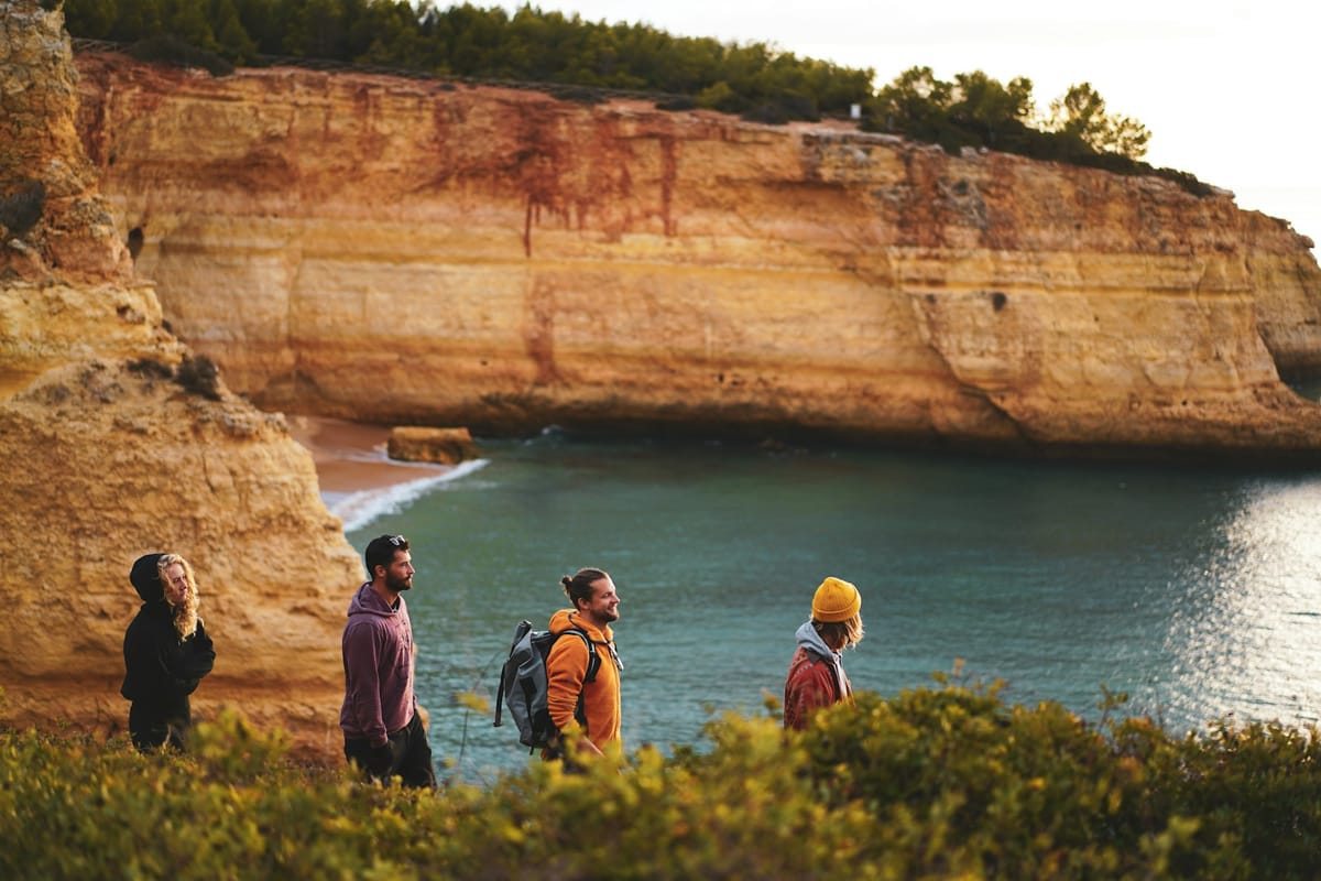
- Fishermen's Trail. 226.5 km in 13 one-day stages along the cliff-top coast, ending in Lagos. Around 60 to 70 percent of the path is sand, so it is harder than the distances suggest. It is not recommended if you have vertigo or a fear of heights.
- Historical Way. 263 km in 13 stages on rural tracks inland, from Santiago do Cacém to Cape St Vincent. It is rated easy.
Both are best from September to June. July and August are too hot. The Rota Vicentina association also maintains shorter circular routes from villages along the way.
Peneda-Gerês in the north
Peneda-Gerês is Portugal's only national park. Its long route, the GR50 Grande Rota Peneda-Gerês, runs about 190 km in 19 stages from Castro Laboreiro to Tourém. It is entirely mountain terrain. There are many PR loops from villages such as Soajo, Lindoso, and Campo do Gerês. Some roads and areas in the park have access limits in summer, so check the park page before you go.
Serra da Estrela in the centre
Serra da Estrela has mainland Portugal's highest point, Torre, at 1,993 m. The best known walk climbs the glacial valley of the Zêzere from Manteigas towards Torre. Snow is common from December to March. The main walking season is late spring to early autumn. Large areas burned in 2022, so check route status with the natural park before you set off.
Other mainland areas worth a day
- Sintra-Cascais natural park: coastal walks around Cabo da Roca and loops in the Sintra hills.
- Arrábida natural park near Setúbal: ridge walks with sea views.
- Serras de Aire e Candeeiros: limestone and karst landscapes.
- Alvão natural park: the Fisgas de Ermelo waterfalls.
- Douro Internacional natural park: cliff-top paths above the Spanish border.
Madeira's levadas
Madeira's levadas are old irrigation channels. The maintenance paths beside them form the island's walking network. Most are gentle because they follow the contour of the hill, but some have long tunnels and sheer drops. Popular classified trails include PR1 Vereda do Areeiro, PR6 Levada das 25 Fontes, PR8 Vereda da Ponta de São Lourenço, and PR9 Levada do Caldeirão Verde. The fees and booking rules are in their own section below.
The Azores
Each island has signed trails listed on the regional government's official trails site, with the current status of each. The weather changes fast at any time of year, and trails can close for poor visibility.
Mount Pico, at 2,351 m, is the highest point in Portugal. If you climb it you must register at the mountain house (Casa da Montanha), pay a fee, and carry a GPS tracker that you hand back at the end. Up to 320 people can climb each day and 30 can be on the summit at once, for 20 minutes each. You can climb without a guide while the Casa da Montanha is open. Outside its opening hours, only licensed companies with a certified guide and Azores residents may go up.
What it costs to hike in Madeira
This applies to anyone hiking the classified trails managed by the IFCN in Madeira. Other trails on the island are free.
The 2026 fees for visitors are:
- One classified trail (except PR1): €4.50.
- PR1 Vereda do Areeiro, only as far as the Pedra Rija viewpoint: €4.50.
- Full PR1 to Pico Ruivo: €10.50. This includes the exit trails PR1.1 and PR1.2.
- Two or more trails in one day (excluding PR1): €9.
- Two or more trails in three days (excluding PR1): €22.50.
- Two or more trails in seven days (excluding PR1): €52.50.
The day and multi-day rates are a discount, not a pass. You still book each trail separately.
You do not pay if you are:
- A Madeira resident with a regional resident card and Citizen Card.
- Aged 12 or under.
- A person with a disability of 60 percent or more, plus one companion.
Everyone still has to book, including those who do not pay.
How to book a Madeira trail
- Check the trail is open on the IFCN classified trails page.
- Go to the SIMplifica portal of the Madeira regional government.
- Choose the trail, the date, and an entry time slot. You can book the same day if places are left.
- Pay online. The system applies the cheapest combination of fees automatically.
- Keep your ticket and invoice. Arrive within about 15 minutes of your slot.
You get a refund or a new date only if the IFCN or another authority closes or restricts the trail on your booked day. Rain, illness, or a cancelled flight do not count. To claim, email the IFCN within 10 working days of the booking date with your tickets, invoice, and bank details.
PR1 reopened fully on 1 May 2026. From Pedra Rija to Pico Ruivo it is now one way only. You leave Pico Ruivo by PR1.1 to Ilha or PR1.2 to Achada do Teixeira, so plan your transport back. PR1.3 to Encumeada is still closed.
Fire season and when forests close
This applies to everyone walking in mainland forests and scrubland, residents and visitors alike.
The critical fire period usually runs from 1 July to 30 September. The government can extend it in a dry year. During this period you cannot light fires or barbecues in or near forests outside approved sites.
On days of extreme fire risk, the government can declare a state of alert (situação de alerta). Under an alert, the law bans access to, travel through, and staying in forest areas, including forest tracks. This happened across the whole mainland from 3 to 6 July 2026. A walk that is legal on Monday can be illegal on Tuesday.
Before any summer walk:
- Check the fire risk map on the IPMA weather service site for your municipality.
- Check the news or the government site for any state of alert.
- Avoid forest routes on very high or maximum risk days, even without an alert.
- Do not smoke on the trail, and never use a camping stove in woodland.
If you see smoke or flames, call 112 and move away from the fire, downhill and upwind if you can.
Rules on camping, dogs, drones, and groups
- Wild camping. Camping outside a licensed campsite is not allowed in natural parks or on the Rota Vicentina. Elsewhere you need the landowner's permission, and the Câmara may also restrict it.
- Dogs. Keep your dog on a lead in protected areas.
- Drones. Flying in a protected area needs authorisation from the nature conservation institute (ICNF), on top of the usual aviation rules.
- Groups. On the Fishermen's Trail, groups are limited to 15 people. The trail is for walkers only, with no bikes and no trail running.
- Vehicles. Driving on dunes is banned.
Staying safe on the trail
- Tell someone your route and your expected finish time.
- Carry at least 2 to 3 litres of water a day in summer. Many trails have no refill points.
- Take a waterproof jacket all year in the north, the mountains, Madeira, and the Azores.
- Take a head torch for Madeira's levada tunnels and early mountain starts.
- Wear boots with good grip for mountain routes and Madeira's ridge paths. Trail shoes are fine on easier coastal routes.
- Keep back from cliff edges. Many coastal paths have no fence.
- In an emergency anywhere in Portugal, call 112.
Where to start
Start with a short PR loop near home, such as in Sintra-Cascais or Arrábida, or a single levada in Madeira. Then try a few stages of the Fishermen's Trail in spring or autumn. After that, a mountain route in Peneda-Gerês or Serra da Estrela is a good next step.
If you want a multi-day walk with a clear goal and cheap hostels along the way, the Portuguese Camino to Santiago is a good choice. It has its own waymarks, pilgrim passport, and hostels. Everything you need is in "Walking the Portuguese Camino to Santiago".
Sources
- IFCN Madeira, fees and reservations FAQ for classified walking routes: https://ifcn.madeira.gov.pt/en/atividades-de-natureza/percursos-pedestres-recomendados/faq-s-taxas-percursos-pedestres-classificados/frequently-asked-questions-fees-classified-walking-routes.html (2026 fees, exemptions, booking, refunds, PR1 reopening and one-way rule; fees set by Portaria 801/2025 of 10 December, amended by Portaria 48/2026 of 13 February)
- IFCN Madeira, classified walking routes list and status: https://ifcn.madeira.gov.pt/en/atividades-de-natureza/percursos-pedestres-recomendados/percursos-pedestres-recomendados.html (trail list and closures)
- SIMplifica, payment of fees for classified walking routes: https://simplifica.madeira.gov.pt/services/78-82-259 (booking portal)
- FCMP, walking routes: https://www.fcmportugal.com/percursos-pedestres/ (PR and GR definitions, marking colours and signs, national register)
- Rota Vicentina, Fishermen's Trail: https://rotavicentina.com/en/fishermens-trail/ (distance, stages, season, group limit, camping, walkers only)
- Rota Vicentina, Historical Way: https://rotavicentina.com/en/historical-way/ (distance, stages, start and end)
- Rota Vicentina, signage and maintenance manual: https://rotavicentina.com/wp-content/uploads/2023/01/Manual-dos-Trilhos-Pedestres-Rota-Vicentina-Sinaletica-e-Manutencao-compressed.pdf (route colours)
- Walking Peneda-Gerês, GR50: https://www.walkingpenedageres.pt/pt/grande-rota/ (length, stages, start and end)
- ICNF, Peneda-Gerês National Park: https://www.icnf.pt/conservacao/rnapareasprotegidas/pnacpenedageres (park rules and access)
- Azores regional government, Mount Pico climb: https://montanhapico.azores.gov.pt/subir.aspx and https://montanhapico.azores.gov.pt/PerguntasFrequentes.aspx (fee, GPS tracker, capacity, guide rule)
- Azores official trails: https://trails.visitazores.com/pt-pt (trail list and status)
- SGIFR, state of alert declaration for mainland Portugal, 3 to 6 July 2026: https://www.sgifr.gov.pt/w/declara%C3%A7%C3%A3o-de-situa%C3%A7%C3%A3o-de-alerta-em-todo-o-territ%C3%B3rio-continental-2026-07-03-00h00-2026-07-06-23h59 (ban on access to forest areas)
- Critical fire period, Decreto-Lei 82/2021 as amended, summarised by CONFAGRI: https://www.confagri.pt/periodo-critico-incendios-1-julho-30-setembro-queimadas-proibidas/ (1 July to 30 September default)
- IPMA fire risk map: https://www.ipma.pt/pt/riscoincendio/rcm.pt/ (daily risk by municipality)
Last verified September 2026. Rules and fees change; check the official source before acting.