Storm Bruna Brings Orange Rain and Wind Warnings to All of Madeira on Saturday Night, With Gusts to 130 km/h, Before a Wet Week on the Mainland
All four Madeira warning areas go orange for rain and wind from 18:00 on Saturday as IPMA's named storm Bruna arrives. Eight mainland districts have yellow rain warnings today, and IPMA expects over 200 mm in the mountains by 13 November.
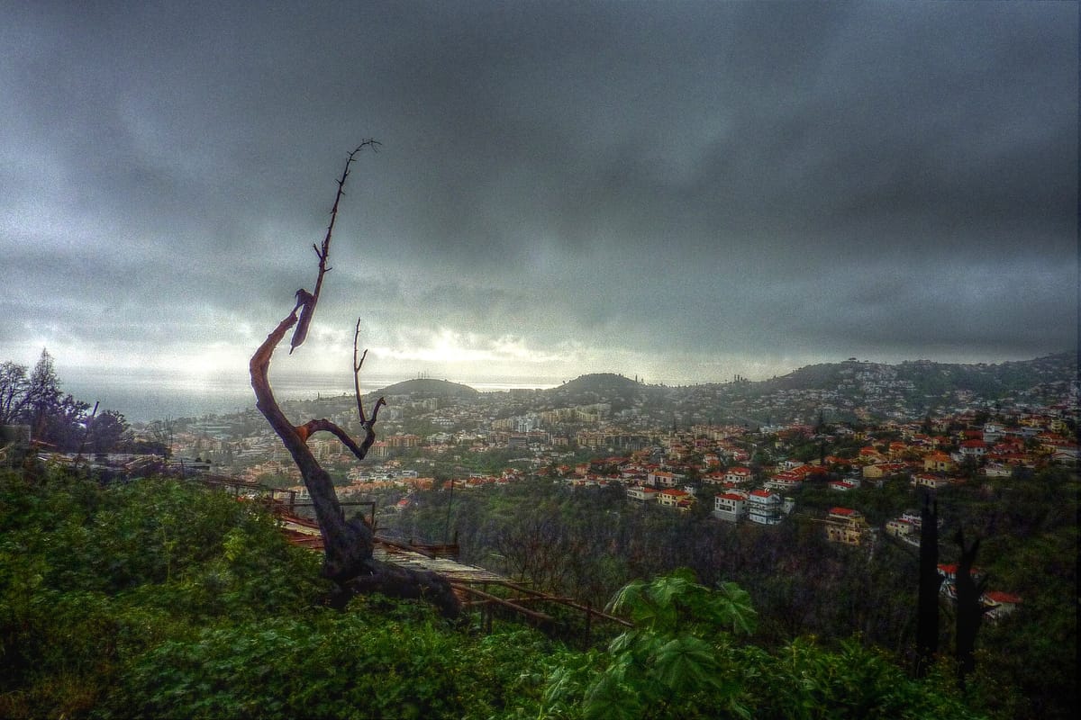
Madeira is under orange warnings for rain and wind from 18:00 on Saturday 7 November as Bruna, a low pressure system named by the national weather service IPMA (Instituto Português do Mar e da Atmosfera), approaches from the Atlantic. Gusts of up to 130 km/h are forecast in Madeira's mountains. On the mainland, eight coastal districts have a lower, yellow warning for heavy showers this afternoon, and IPMA expects Bruna's rain to set in properly from Sunday and last until at least Friday 13 November.
Madeira: the worst of it on Saturday night
According to IPMA's warnings map, all four of Madeira's warning areas (the North Coast, the South Coast, the mountain region and Porto Santo) are on orange for rain from 18:00 on Saturday to 03:00 on Sunday, and on orange for wind from 18:00 to midnight. Rain will be persistent and at times heavy, with thunder; gusts reach 130 km/h in the mountains and 100 km/h elsewhere. Yellow warnings apply either side of the orange window, from midday on Saturday until 03:00 on Sunday.
In its communiqué on Bruna (Portuguese only), issued on Thursday evening, IPMA said the heaviest rain should fall between late Saturday afternoon and early Sunday morning and could exceed 90 mm over the two days. It also forecast south-westerly waves of 1 to 2 metres on the south coast, rising to 3 to 4 metres on Sunday.
Mainland: a wet week from Sunday
Today's yellow warnings cover Viana do Castelo, Braga, Porto, Aveiro, Coimbra, Leiria, Lisboa and Setúbal from 15:00 to midnight, for spells of rain or showers, at times heavy and with thunder. None of the mainland warnings is orange or red.
Bruna's effects on the mainland begin with a frontal system early on Sunday 8 November, followed by successive bands of rain until at least 13 November, IPMA said. Over the week, rainfall could pass 200 mm, especially in mountain areas. Southerly gusts reach 70 km/h on the west coast and in the highlands. Waves on the west coast are forecast to build from 1 to 2 metres on Saturday to 4 to 5 metres on Monday 9 November; on the Algarve's south coast they reach 2 to 3 metres on Monday. IPMA will update its communiqué this evening.
In the Azores, São Miguel and Santa Maria are on yellow for heavy rain from Friday night.
What it means for you
- Check the warnings before you travel. They change as the storm develops; the IPMA warnings page is the reference.
- Keep drains and gutters clear. Blocked drains and gullies are the main cause of small floods, according to the national civil protection authority ANEPC's rainy-season advice (Portuguese only).
- In Madeira, the regional civil protection service (Proteção Civil Madeira) advised in its most recent heavy rain notice, on 31 October, that people should secure loose structures such as scaffolding and signs, plan journeys ahead of the worst period, take extra care under trees, drive slowly, never cross flooded roads and respect any closed areas. It warned of falling branches, urban flooding and collapsing retaining walls and slopes.
- Keep clear of the seafront while the waves are up: Madeira's south coast on Sunday and the mainland west coast from Monday.
- In the Azores, IPMA points residents to the regional civil protection service at prociv.azores.gov.pt.
Bruna arrives while councils are still claiming storm repair aid: they are set to get until at least 31 December to claim up to 60 percent from the municipal emergency fund.