Southern Portugal Has the Most Promising Geology for Natural Hydrogen, LNEG's First National Map Finds, but No Reserve Is Proven
LNEG's first national assessment of natural hydrogen ranks the South Portuguese Zone, home of the Iberian Pyrite Belt, highest, followed by the centre and north. What the maps show, what they do not, and what comes next.
The south of mainland Portugal has the most promising geology for natural hydrogen, according to the first national assessment of the resource, published this week by the Laboratório Nacional de Energia e Geologia (LNEG, the National Laboratory for Energy and Geology). But the state laboratory is clear that no reserves have been proven and that its maps are not a forecast of what lies underground.
Natural hydrogen, sometimes called white or geological hydrogen, is hydrogen gas formed by processes deep in the earth rather than made in a factory. If technically recoverable accumulations were ever shown to exist, LNEG says, it could complement the hydrogen produced with renewable electricity, such as the projects planned around Sines.
What the study found
The report, "Natural Hydrogen Prospectivity in Portugal: A First Approach" (in English), divides the mainland into a grid of one-kilometre squares and scores each one on a new index from 0 to 1. The index combines 16 types of geological, geophysical, chemical and groundwater evidence for the three things a hydrogen system needs: rocks that generate the gas, rocks that can store it, and a seal that stops it escaping. The researchers ran 5,000 simulations to measure the uncertainty.
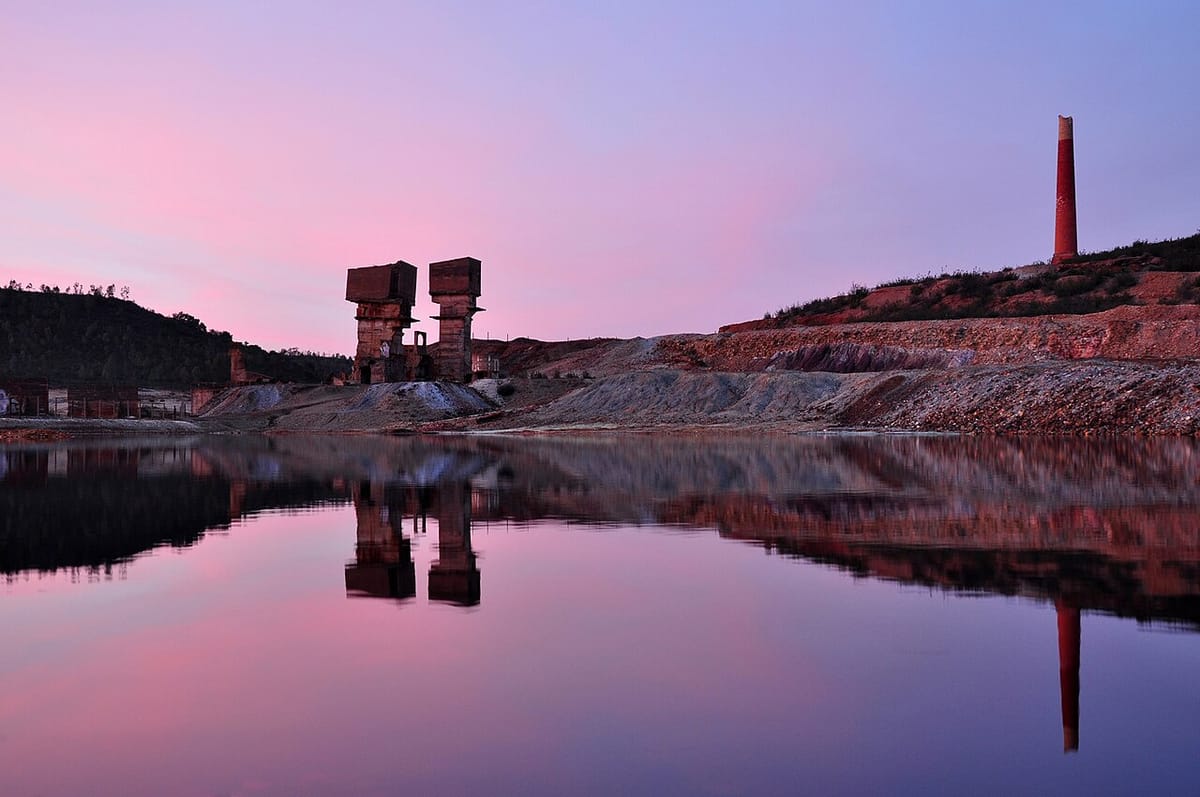
- The South Portuguese Zone scores highest. This geological region covers much of Baixo Alentejo and the Algarve hills and includes the Iberian Pyrite Belt, the band of old copper and pyrite mines that runs from Aljustrel and Mértola into Spain. Its higher scores come from heat flow, faults, deep structures and local gravity data.
- The Central Iberian and Galicia-Trás-os-Montes zones follow, covering much of the interior centre and north, where evidence from radioactive rocks, groundwater chemistry and faults converges.
- The Lusitanian and Algarve sedimentary basins along the coast have rocks that could store and seal hydrogen, but LNEG says good storage on its own is not enough without evidence that hydrogen is being generated nearby.
- Only a small share scores well. Most squares score between 0.1 and 0.3. The report's summary puts about 4 percent of the 90,431 squares at 0.4 or more and 1.2 percent at 0.5 or more; LNEG's press note (PDF, in Portuguese) puts it at more than 5 percent of the territory.
The south is also where the results are most uncertain, because they depend heavily on the assumptions in the model. That is why LNEG says it should be the first place for further study.
What it does not mean
The report stresses that the index "must not be interpreted as a probability of discovery or an estimate of hydrogen resources." It is a screening tool to narrow down where to look. Nobody is about to drill: the laboratory recommends gathering more evidence first, including monitoring gas in soil and groundwater, before anyone considers exploration boreholes.
The report cites the best-known case abroad: at Bourakébougou, in Mali, a water well drilled in the 1980s turned out to contain hydrogen and was later studied as a possible productive accumulation.
What LNEG wants next
The laboratory asks the government for:
- a phased national programme of research, prospecting and validation;
- better geophysical coverage of the country (magnetic, gravity and seismic data), starting where gaps most affect the results;
- funded campaigns to sample gases in soil and groundwater;
- a governance and licensing framework suited to an early-stage sector, with open data, environmental protection, emissions monitoring and early involvement of local communities, "avoiding premature expectations" about resources that have not been shown to exist.
That last point echoes the long debate over mining elsewhere in the country, such as the Barroso lithium mine, whose final design is now open to public comment. The maps can be explored on LNEG's geoPortal, and the laboratory's announcement is available in English.