Portugal's Air Force Doubles Its Fleet of Radar Satellites to Four With Two Launches From Florida
Two ICEYE-built radar satellites for the Atlantic Constellation, CA-03 and CA-04, launched on 20 October on a SpaceX Falcon 9. The Air Force now operates four that can image land and sea at night and through cloud.
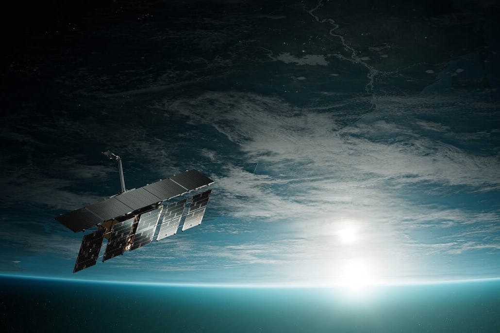
Portugal's Air Force now has four radar satellites in orbit. Two more spacecraft for the Atlantic Constellation (Constelação do Atlântico), designated CA-03 and CA-04, went up on Tuesday 20 October aboard SpaceX's Bandwagon-5 rideshare mission, on a Falcon 9 rocket from Space Launch Complex 40 at Cape Canaveral in Florida, the Força Aérea announced. Both have made contact with the ground, and the routine checks needed before they enter service are under way.
What was launched
The two satellites were built by the Finnish company ICEYE and fitted to the rocket by Exolaunch. They were bought by CTI Aeroespacial, a technology centre formed by the Air Force, the engineering centre CEiiA and the satellite operator GEOSAT, under the New Space agenda funded by the Recovery and Resilience Plan (PRR). The Air Force will operate them.
They carry synthetic aperture radar (SAR), which sends its own signal down to the surface and so can take images at night and through cloud. The Air Force says this matters most for watching Portugal's land and sea areas, for security, for managing emergencies and for decision-making in operations.
"With these two new satellites, Portugal strengthens its sovereign capacity to observe, understand and protect what is its own," said the Chief of the Air Staff, General Sérgio da Costa Pereira.
How the constellation has grown
- CA-01 went up on 30 March 2026. It belongs to CTI Aeroespacial and is operated by the Air Force.
- CA-02 launched from Vandenberg, California, on 3 May. According to the Air Force, it is the first satellite the Air Force bought outright from ICEYE.
- CA-03 and CA-04 launched on 20 October.
The Air Force describes the constellation as a joint project of Portugal and Spain. It is planned to reach 26 satellites, 12 radar and 14 optical. According to the Air Force statement reported by Lusa via RTP, the aim is enough satellites to capture an image every 30 minutes.
What the images are for
When the Air Force agreed in December 2025 to buy its own satellite, it said direct ownership gave it full control over when and where images are taken. It said this would support military missions, maritime security, environmental monitoring and the protection of Portugal's Exclusive Economic Zone and its natural resources. After the May launch, General Costa Pereira told Observador that the satellites can show national forces how the ground has changed after a disaster, "whether during fires or floods". Colonel Pedro Costa, head of the Air Force's Space Operations Centre, put the radar's resolution at 25 centimetres.
For residents, this means a state tool that can map flood or wildfire damage even when smoke or storm cloud would blind an ordinary camera, and keep watch over a very large maritime zone. The statements do not say how, or on what terms, the images will reach civilian bodies such as civil protection.
What happens next
According to RTP, another three to four satellites are due next year, funded by the European SAFE defence loans. Their production is to begin this year at the Alverca Space Hub, which is being set up on Air Force premises. Portugal is also working on a launch base on Santa Maria in the Azores, backed by about 15 million euros from the PRR. These projects sit alongside the Air Force's other PRR spending, such as its Black Hawk firefighting helicopters, and alongside a private space sector whose plans include Omnidea's rocket ambitions.