IPMA Raises Lisbon and Setúbal to Orange for Overnight Rain and Warns of 6-Metre Waves on Wednesday From Lisbon to the Algarve
IPMA has put Lisbon and Setúbal on orange for heavy rain and thunderstorms until 09:00 on Tuesday, joining four inland districts, and added orange warnings for waves of 5 to 6 metres on Wednesday in Beja, Faro, Lisbon and Setúbal. What to do.
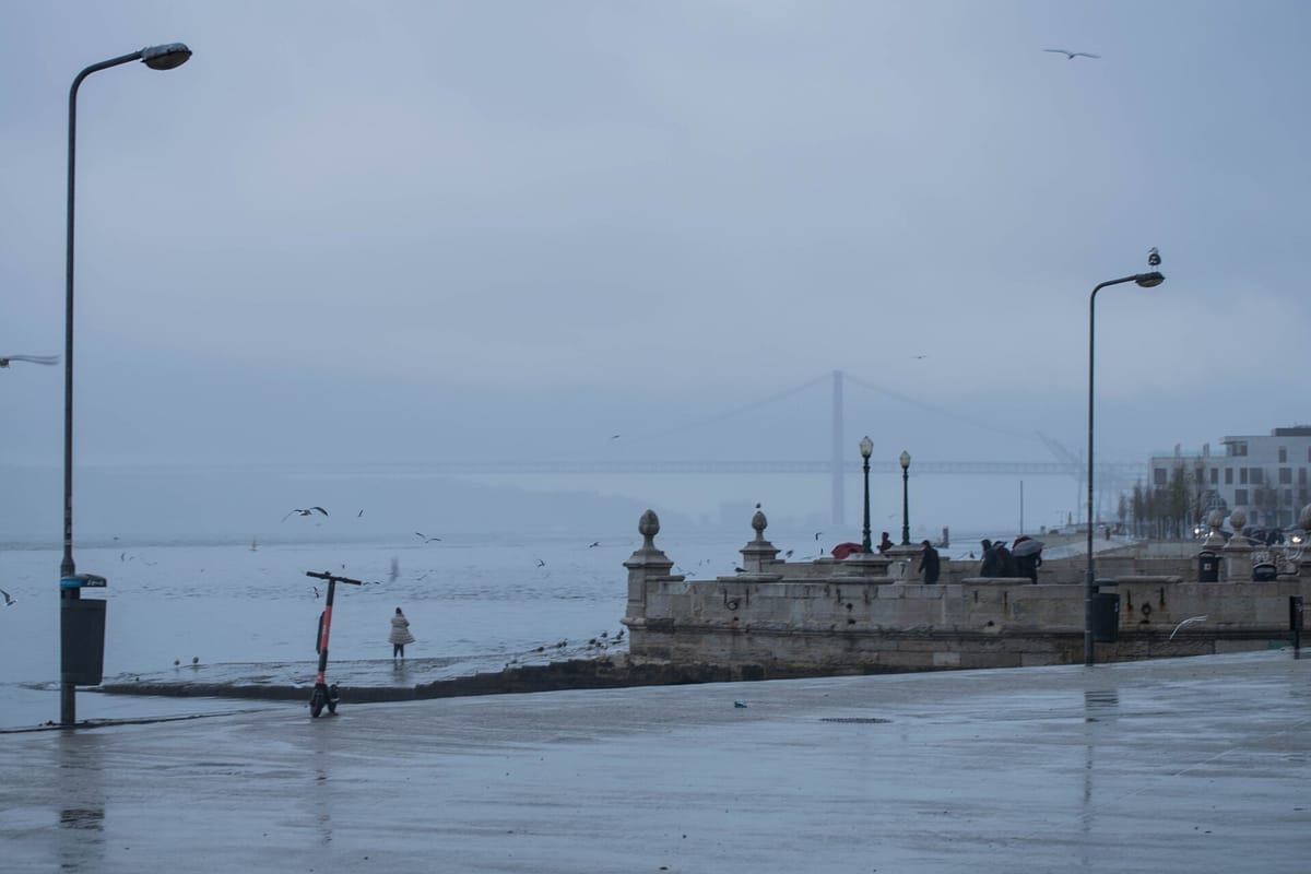
The Instituto Português do Mar e da Atmosfera (IPMA, the Portuguese Institute for Sea and Atmosphere) has raised Lisbon and Setúbal to an orange warning for rain overnight, and added orange warnings for rough seas on Wednesday along the coast from Lisbon to the Algarve. The new warnings appeared in IPMA's warning data late on Monday, after we reported Monday's set for depression Charles.
Tonight: orange for rain in six districts
IPMA expects rain that is at times heavy and comes with thunderstorms. The orange warnings run until 09:00 on Tuesday 10 November:
- Setúbal: from 22:00 on Monday;
- Lisbon: from midnight, after a yellow warning from 22:00 on Monday;
- Castelo Branco, Évora, Portalegre and Santarém: from midnight, as already announced.
Lisbon and Setúbal also have a yellow warning for thunderstorms until 15:00 on Tuesday. IPMA says conditions favour local downpours of 10 to 20 mm in an hour and gusts of 70 to 90 km/h. Once the orange spell ends, both districts stay on yellow for rain from 09:00 to 18:00 on Tuesday.
Wednesday: waves of up to 6 metres
Beja, Faro, Lisbon and Setúbal now have an orange warning for rough seas from 12:00 to 21:00 on Wednesday 11 November, with southwesterly waves of 5 to 6 metres. It comes on top of the orange wind warning already in place for the same hours in Beja, Faro, Leiria, Lisbon, Santarém and Setúbal, with gusts of 100 to 120 km/h. In Beja, Faro, Lisbon and Setúbal, yellow warnings for waves of 4 to 5 metres apply from Monday night to early Wednesday and again from 21:00 on Wednesday to 03:00 on Thursday, and all four have a yellow warning for heavy, persistent rain from 05:00 to 18:00 on Wednesday.
In Madeira, the orange warnings for rain and wind from 21:00 on Tuesday to midday on Wednesday are unchanged.
What residents should do
The Autoridade Nacional de Emergência e Proteção Civil (ANEPC, the National Emergency and Civil Protection Authority) has not issued a separate warning for Charles. Its warning to the population of 6 November (in Portuguese), issued for depression Bruna, is still active and covers rain, wind and rough seas. It lists flooding in towns, landslides, slippery roads, objects blown onto roads and accidents on the coast among the expected effects, and advises residents to:
- never cross flooded roads or areas, where people and cars can be swept into holes or open drains;
- clear gutters and drains, and avoid parking in places that usually flood or under trees;
- secure scaffolding, signs, plant pots and garden furniture, and close and reinforce shutters and windows facing the wind;
- take care near trees and rivers, where branches and trees can fall;
- drive defensively and slow down, watching for sheets of water on the road;
- follow IPMA's forecasts and the instructions of civil protection and the police.
With waves of up to 6 metres on Wednesday, keep away from sea walls, piers and beaches on the affected coast. In an emergency, call 112. Warnings change as forecasts are updated, so check IPMA's warning map before you travel.