IPMA Escalates Eight Mainland Districts to Red for Wind on Wednesday, With Gusts Possibly Reaching 140 km/h, as a State of Alert Shuts Schools Nationwide
Depression Charles brings the first red warnings to mainland Portugal: wind in Lisbon, Leiria, Santarém, Setúbal, Évora, Portalegre, Beja and Faro on Wednesday. A state of alert closes schools and non-essential public services. Here is what to do.
The Portuguese weather institute, IPMA, has raised eight mainland districts to a red warning for wind on Wednesday 11 November, the first red of Depression Charles for mainland Portugal. Red is the highest of IPMA's four levels. IPMA's warnings forecast gusts "up to 120 km/h, possibly reaching 140 km/h in the most exposed places". The government has declared a state of alert (situação de alerta) for Wednesday and is closing schools and non-essential public services.
Where and when
- Red for wind, 09:00 to 21:00: Setúbal, Beja and Faro.
- Red for wind, 12:00 to 21:00: Lisbon, Leiria, Santarém, Évora and Portalegre.
- Orange for wind, 12:00 to 21:00: Guarda, Coimbra and Castelo Branco, with gusts up to 120 km/h.
- Orange for rain, 05:00 to 18:00: Lisbon, Leiria, Santarém, Setúbal, Évora, Portalegre, Beja, Faro and Castelo Branco.
- Orange for rain, 09:00 to 21:00: Viana do Castelo, Braga, Porto, Vila Real, Bragança, Viseu, Guarda, Aveiro and Coimbra.
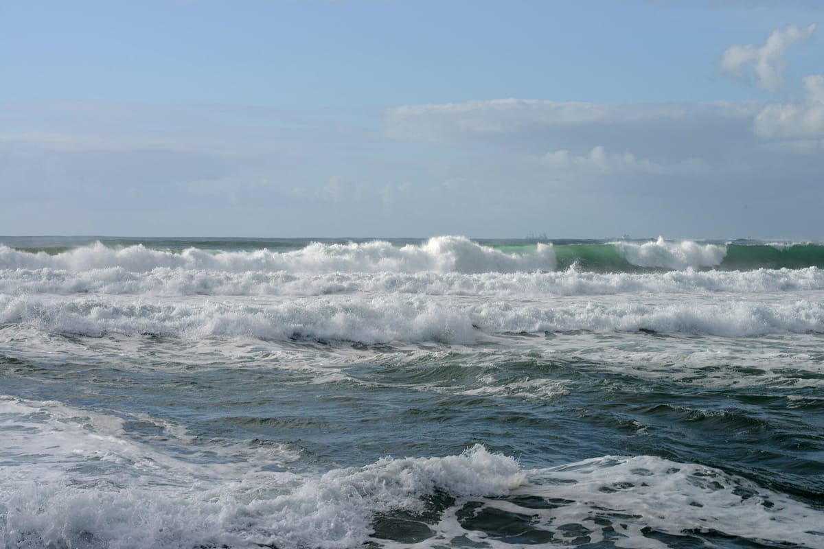
- Orange for rough seas, 12:00 to 21:00: Lisbon, Setúbal, Beja and Faro, with southwesterly waves of 5 to 7 metres.
Madeira gets the storm first. Its south coast and mountain areas are under red for rain from 21:00 on Tuesday until 06:00 on Wednesday. The mountains also have a red wind warning from 00:00 to 06:00, with gusts up to 140 km/h.
In its special notice on Charles, IPMA said the centre of the depression would most likely cross the coast somewhere between Sines and Cabo Carvoeiro (Peniche), with the strongest gusts on its southern edge. At a press conference on Tuesday, Jorge Ponte of IPMA said gusts could be stronger still if a "sting jet" formed, as happened in storm Kristin.
What the government has decided
At the civil protection authority's headquarters on Tuesday, Internal Administration Minister Luís Neves said the state of alert runs from 00:00 to 23:59 on Wednesday. RTP and Observador both reported his announcements:
- Schools are closed across the country, private schools and universities included.
- Non-essential public services will not open.
- Walking in parks, forests and gardens, and outdoor activities, will be banned.
- Bridges "may be closed" if the wind rises.
He asked everyone who can to stay at home. He also asked employers to allow remote work where possible and to be understanding with parents of children who have no school. National commander Mário Silvestre said civil protection had moved to its highest readiness level, level 4, and that power and communications cuts were likely.
What it means for you
The civil protection authority, ANEPC, has published its advice to the public (in Portuguese). In short:
- Do not travel unless you must, above all at the height of the wind and rain.
- Tonight, bring in or tie down anything on balconies and terraces: plant pots, garden furniture and the like.
- Close and secure shutters and windows, especially those facing the wind.
- Keep away from beaches, cliffs, piers and seafronts, and from rivers and streams.
- Never drive or walk through floodwater.
- Do not park in underground car parks, in places that flood or under trees.
- Charge your phone and a power bank, and have a torch ready.
The minister said high tide on Wednesday is around 15:30, while the wind is pushing seawater towards land, and that the water "will not be easy to drain".
In an emergency call 112. For health advice, the national health line SNS 24 is at sns24.gov.pt. IPMA updates its warnings on ipma.pt, so check them before you set out. Yesterday's warnings are in our earlier report and our first story on Charles.