Atlantic Swell Sends Six Northern and Central Districts to Orange on Wednesday Night, With Waves of Up to 10 Metres
IPMA has Viana do Castelo, Braga, Porto, Aveiro, Coimbra and Leiria on orange for rough seas from 18:00 Wednesday to 07:00 Thursday, with 5 to 6 metre northwest waves and individual waves up to 10 metres. Yellow covers the coast from Lisbon to the Algarve's west coast.
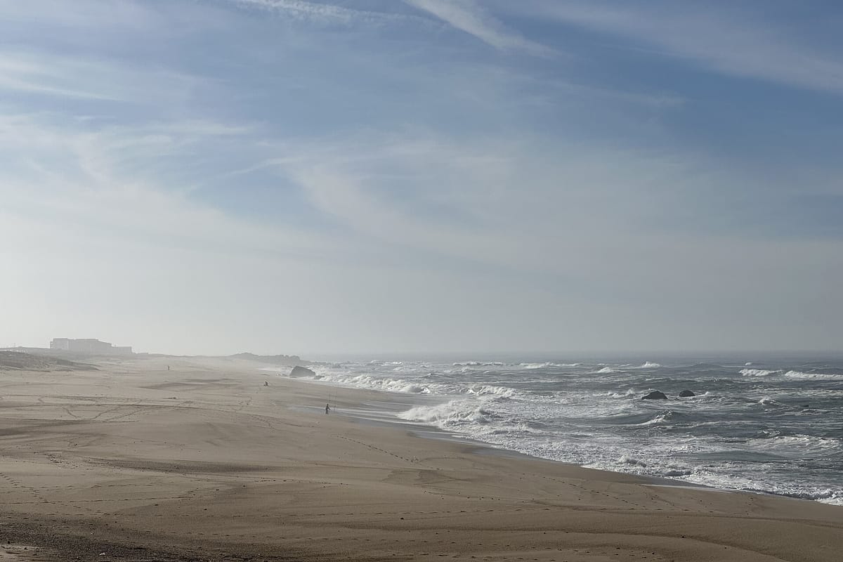
The weather institute IPMA has put six coastal districts in the North and Centre on orange for rough seas from 18:00 on Wednesday 18 November to 07:00 on Thursday 19 November. The six are Viana do Castelo, Braga, Porto, Aveiro, Coimbra and Leiria. IPMA's warning text forecasts northwest waves of 5 to 6 metres, with individual waves reaching up to 10 metres.
The warning is for agitação marítima, IPMA's term for a heavy sea state: big waves breaking on the coast. Orange is the second-highest of IPMA's four levels. Its guide to the warning colours describes orange as a weather situation of moderate to high risk, in which people should keep up with how conditions develop and follow the guidance of the civil protection authority, ANEPC.
Yellow first, and further south
The orange warnings follow a day of yellow warnings for the same coast, according to IPMA's warnings page:
- Viana do Castelo, Braga, Porto and Aveiro: yellow from 03:00 to 18:00 on Wednesday, with northwest waves of 4 to 5 metres.
- Leiria and Coimbra: yellow from 06:00 to 18:00 on Wednesday, also 4 to 5 metres.
- Lisbon: yellow from 06:00 on Wednesday to 07:00 on Thursday, 4 to 5 metres.
- Setúbal, Beja and Faro: yellow from 12:00 on Wednesday to 07:00 on Thursday, 4 to 5 metres. In Faro the warning covers the west coast only.
Rain comes first. Viana do Castelo, Braga, Porto and Aveiro are on yellow from 18:00 today, Monday, to 06:00 on Tuesday, for persistent rain that will at times be heavy, especially in the mountains.
The remaining mainland districts have no warning in IPMA's feed this morning, and neither do Madeira and the Azores. IPMA's warnings do not name a storm for this event. Warnings can still change, so check IPMA before Wednesday.
What it means for you
As of Monday morning, ANEPC had not issued a notice to the public (aviso à população) for this event, and we found no press note on it from the Maritime Authority (Autoridade Marítima Nacional). ANEPC's standing advice on rough seas is in its most recent notice to the public, issued for Depression Charles on 9 November. It lists accidents on the coastline among the expected effects of strong seas. Its advice includes:
- Do not stay or walk near beaches, cliffs, breakwaters, jetties and waterfronts exposed to the rough sea.
- Tie down or bring in loose objects outdoors, and anything on balconies and terraces that the wind could carry off.
- Keep up with IPMA's forecasts and warnings, and follow the advice of Civil Protection and the police.
That advice was written for last week's storm, so treat it as general guidance until ANEPC publishes anything for Wednesday. New notices appear on ANEPC's notices page. In an emergency, call 112.
Last week's storm brought 6-metre waves to the coast from Lisbon to the Algarve (our report from 9 November). If the sea damages your home or car, the insurance regulator's advice from that storm still applies: check your policy and photograph everything.