Rain Returns on Monday and a Cold Front Crosses the Mainland on Tuesday Night, After One Last Hot Saturday in the Algarve and Madeira
The IPMA's outlook for 28 September to 4 October brings moderate and at times heavy rain on Tuesday and Wednesday, stronger wind and temperatures back to normal for the season. Rain and wind warnings are not ruled out.
The heat that has hung over Portugal for much of September has one more day to run. On Saturday the Instituto Português do Mar e da Atmosfera (IPMA), the national weather service, kept a yellow warning for hot weather in force until 18:00 for the district of Faro and for every region of Madeira, citing persistently high maximum temperatures, especially in the western Algarve and inland. Its city forecast gave Lisbon a high of 34°C.
From Monday the pattern changes. In a weekly outlook published on Friday for 28 September to 4 October, the IPMA says the mainland can expect "a scenario more in keeping with autumn", with lower temperatures and the first widespread rain in weeks.
A front on Tuesday night
According to the IPMA, a deep area of low pressure to the west of the British Isles will drive a south-westerly flow across the country at the start of the week, bringing a frontal system with it. On Monday it expects only light rain, arriving with a warmer air mass.
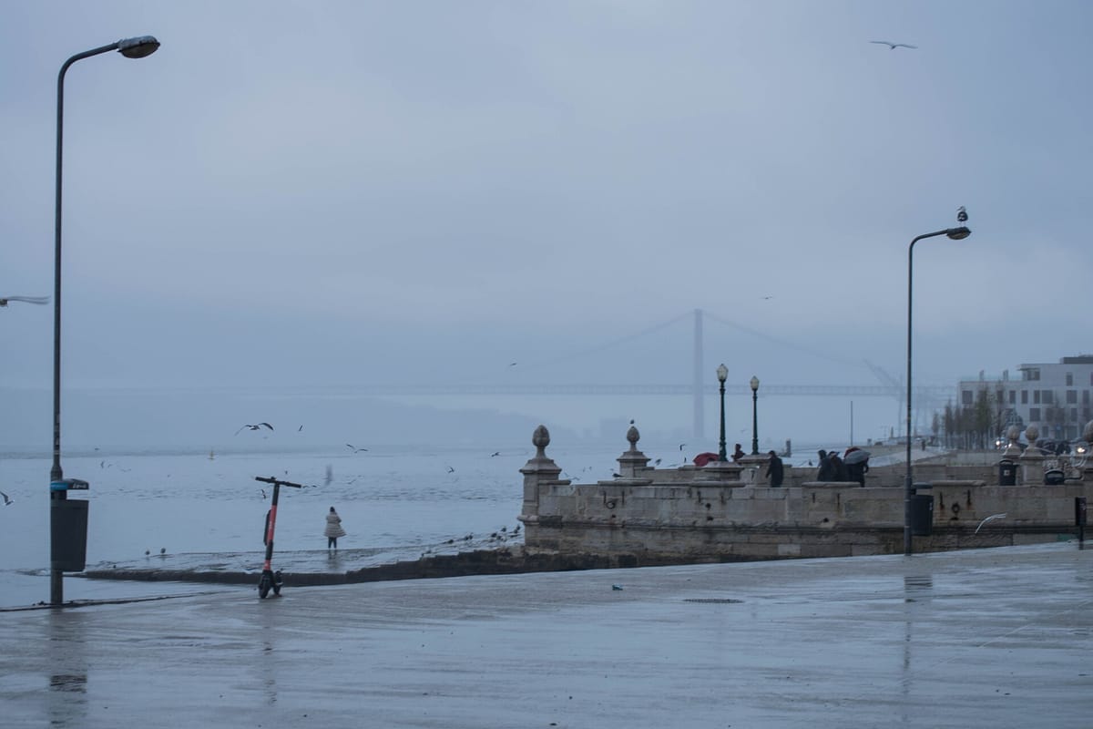
On Tuesday and Wednesday the rain is forecast to strengthen, becoming moderate and at times heavy as the cold front crosses the mainland, which the IPMA expects late on Tuesday 29 September and in the early hours of Wednesday 30 September. The wind will also pick up as the front passes and may be strong for a time. The institute says it does not rule out issuing rain and wind warnings for that period.
The IPMA's city forecasts, updated on Saturday morning, put the chance of rain in Lisbon at 47 percent on Tuesday and 84 percent on Wednesday. In Porto it is 82 percent on Tuesday and 86 percent on Wednesday.
From Thursday 1 October an area of high pressure near the Azores is expected to extend a ridge towards the Iberian Peninsula, turning the wind to the north and, in the IPMA's words, inhibiting further rain.
Temperatures back to normal for the season
The IPMA expects temperatures across most of the country to sit within the normal range for late September and early October: a slight drop compared with this weekend, followed by a slight rise later in the week. Its outlook gives these ranges:
- Inland north and centre: highs of 19 to 29°C and lows of 8 to 17°C.
- The south: highs of 24 to 31°C and lows of 10 to 18°C.
- The western coast: highs of 20 to 28°C.
- The southern coast: highs of 23 to 30°C.
- Coastal lows generally between 11 and 19°C.
What it means this week
For most households the practical points are simple. Tuesday evening and Wednesday morning look like the wettest and windiest part of the week, so it is worth checking forecasts before a commute or a school run, and clearing gutters, drains and balcony outlets that have had a dry summer to fill with leaves and dust. The first heavy rain after a long dry spell tends to leave roads slippery, and drivers should allow for longer braking distances.
The rain is also welcome news for anyone who has spent the summer watching the wildfire risk. September has brought several large fires, including the Odemira blaze that burned through Thursday night, and a spell of moderate rain will ease conditions in the countryside, at least for a while.
Warnings, when issued, appear on the IPMA website and app, district by district, in green, yellow, orange and red. The weekly outlook is updated every Friday.