Nine Heatwaves Since February Give Mainland Portugal a New Yearly Record, and 98 Heatwave Days Top 2009's 97
IPMA's provisional count puts 2026 at nine heatwaves, the most in a year, and 98 heatwave days, beating 97 in 2009. The 98 is a national day total, not one long heatwave; the longest run at a single station was 13 days.
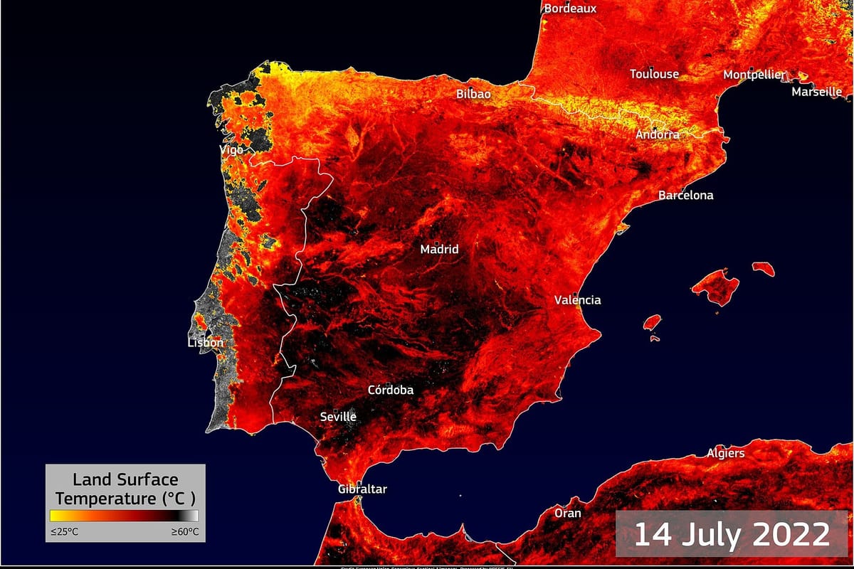
Mainland Portugal has had nine heatwaves so far in 2026, the highest number in a single year, according to a provisional count published on 18 October by the Instituto Português do Mar e da Atmosfera (IPMA, the national weather institute). The year also holds a new record for heatwave days: 98 since January, ahead of 97 in 2009 and 91 in 2017, in a series that IPMA says runs back to 1942.
Some reports described the longest heatwave as lasting 98 days. That is not what IPMA says. The 98 is the national total of days on which a heatwave was under way somewhere in its station network. No single episode came close: the longest run at any one station was 13 days, reached in four of the nine episodes.
What counts as a heatwave
IPMA uses a station-by-station rule. A heatwave is at least six consecutive days on which the daily maximum is more than 5 °C above the average maximum for that place and time of year, measured against the 1991 to 2020 normal. Because the yardstick moves with the season, a February or October heatwave does not mean summer heat. It means temperatures well above what is usual for that month.
That is why 2026's list starts in February. The ninth episode, confined to the northeast, was expected to end on 16 or 17 October, so IPMA calls it preliminary.
The nine episodes
- 21 to 26 February: four locations in Bragança and Guarda.
- 30 March to 6 April: about 20 percent of stations, with a separate, very local spell in Greater Porto from 22 to 28 March counted as part of it.
- 15 to 28 April: 40 percent of stations, in the inland north and centre, the Tagus valley and inland Alentejo; 13 days at Miranda do Douro and 12 at Pinhão.
- 20 May to 1 June: began in the Alentejo and Tagus valley and spread north; the strongest May heatwave on IPMA's magnitude measure.
- 9 to 24 June: 14 stations, with 13 days at Bragança, Miranda do Douro and Mogadouro.
- 29 June to 11 July: most of the mainland; the greatest total magnitude and second-widest spread in IPMA's ranking, and one of the most significant episodes since 1981.
- 2 to 7 September: the inland north.
- 18 to 27 September: 72 percent of IPMA's stations, for six to ten days.
- 10 October onwards: the northeast (provisional).
How 2026 compares
No year in IPMA's list since 2015 had more than eight, and 2015, 2017, 2020 and 2023 had seven each. In heatwave days, every other year since 2015 falls between 32 and 73; 2017's 91 was the highest of the decade until this year.
The institute's wider reading of the record is that heatwaves have become more frequent since the late 1990s. The rise is not only in summer but also in spring and autumn, and it has come with more heatwave days per year. By IPMA's own seasonal split, 2026's nine were one in winter, three in spring, two in summer and three in autumn.
The September episodes fed into the month's national heat record, which we covered in our report on IPMA's September bulletin. The summer as a whole was the third hottest since 1931 (details here). The October spell was the one flagged in the 10 October forecast, though in the end it met IPMA's definition only in the northeast.
What happens next
The count is provisional and covers February to mid October; IPMA will confirm the figures in its climate bulletins. Its forecasts for the coming week point to cooler weather, not a tenth episode.