A New Free Platform Tracks the Iberian Peninsula's Living Forest Moisture to Sharpen Wildfire Warnings
A free new platform, ForestDrought, maps the live moisture of forests across the Iberian Peninsula every day — bringing the water in living plants, not just dead tinder, into wildfire-risk models as Portugal endures its worst fire year since 2017.
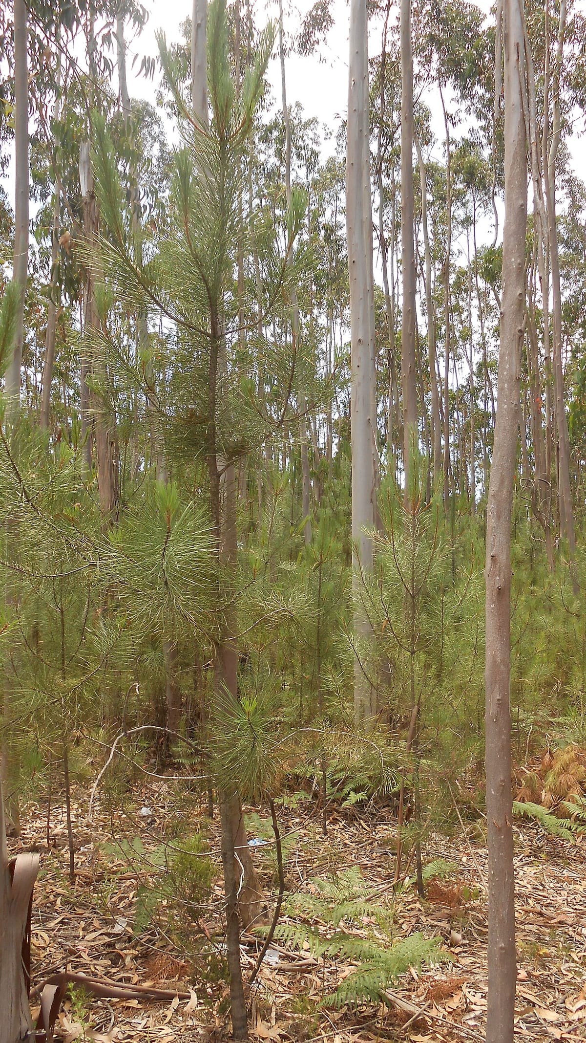
As Portugal moves through another dangerous fire season, a new digital tool is offering something the country's traditional warnings have lacked: a daily, map-based reading of how much moisture is actually left in living forest vegetation across the Iberian Peninsula — the fuel that decides whether a spark fizzles out or races into a crown fire.
The platform, called ForestDrought, was built by the Centre for Ecological Research and Forestry Applications (Centro de Investigação Ecológica e Aplicações Florestais, or CREAF), a Catalan research institute, and covers mainland Iberia and the Balearic Islands. It updates every day, publishing freely accessible maps of the water status of forests and the amount of water held in the soil, alongside indicators for the risk of ignition in scrub and the potential for fire to spread through tree canopies.
What sets it apart from conventional fire-danger indices is what it measures. Most existing systems estimate risk from the dryness of dead material — fallen leaves, twigs and litter — combined with weather. ForestDrought instead brings the moisture of live vegetation into the model, drawing on a study led by CREAF and published in the journal New Phytologist that, its authors say, incorporates living-plant water content into fire-risk modelling for the first time.
The thresholds are deliberately simple to read. When plants hold less than 100 percent of their normal moisture, it signals water stress; once the figure drops below 80 percent, researcher Miquel de Cáceres cautions, it is time to be alert, because the vegetation is very dry and can ignite far more easily. On a hot, low-humidity, windy day, that difference is often what separates a manageable ignition from a fast-moving blaze.
To generate its daily simulations, the tool blends meteorological data from several regional and national agencies — Spain's state weather service AEMET, Catalonia's meteorological service, MeteoGalicia and Andalusia's agroclimatic network — with information on soil type, terrain and forest structure taken from national forest inventories and LiDAR mapping. The result is a modelled picture of where the landscape is driest and most primed to burn, refreshed as conditions change.
The relevance to Portugal is hard to overstate. The country is enduring its worst fire year since 2017, and in early July it triggered the EU Civil Protection Mechanism and called in Spanish and Moroccan water-bombers as dozens of fires burned during a red-alert heatwave. Because the platform maps the whole peninsula rather than a single country, its readings extend across the Portuguese mainland, giving civil-protection planners, forest managers and researchers on this side of the border another lens on where the vegetation is most combustible.
ForestDrought does not fight fires or replace the operational alerts issued by Portugal's own authorities, and it carries the usual caveats of any model: it is only as good as the data feeding it, and local conditions can diverge from a peninsula-wide simulation. But as a free, science-based early-warning layer — one that finally accounts for the water in the living plants, not just the tinder on the ground — it adds a useful tool at a moment when Iberia's summers are turning hotter, drier and more flammable.