Peneda-Gerês National Park Gets Updated Boundaries and a New Rulebook, Fifteen Years After Its Last Plan
The cabinet approved new limits and a special programme for Portugal's only national park. The text is not yet public, but the 2024 draft shows what it governs: camping, drones, forest roads, foraging, and a boundary that could take in Vieira do Minho.
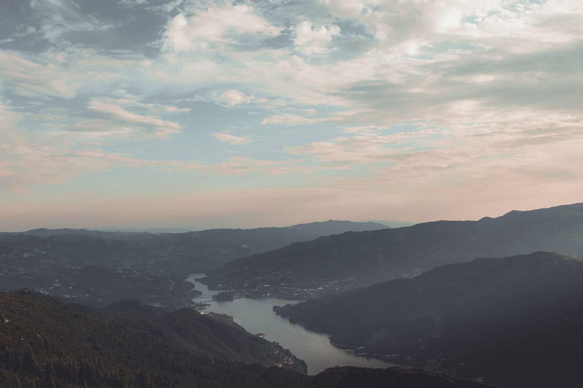
Portugal's only national park is getting updated boundaries and a new set of rules. The Council of Ministers (cabinet) on Thursday approved a resolution that updates the limits of the Parque Nacional da Peneda-Gerês (Peneda-Gerês National Park) and approves its Programa Especial (special programme), which lays down rules "to protect nature, support the traditional activities of the local population and organise tourism", according to the Council of Ministers communiqué.
The text approved on Thursday has not yet been published in the Diário da República (the official gazette). Until it is, the exact new boundary and the final wording of the rules are not known. What follows comes from the proposal that the ICNF (Instituto da Conservação da Natureza e das Florestas, the nature and forests institute) put to public consultation in 2024, and from the official opinions given on it. The final text may differ.
Why it matters
The park was created in 1971 and covers about 70,000 hectares in a horseshoe across Melgaço, Arcos de Valdevez, Ponte da Barca, Terras de Bouro and Montalegre, according to the ICNF's draft management regulation. Its current rules date from a management plan approved in 2011. The special programme replaces that plan: under the 2014 land-use law, the old protected-area plans had to be turned into special programmes, and the programme's rules bind public bodies and private owners alike.
The boundary: Vieira do Minho could join
The ICNF ran a separate consultation on redrawing the park's limits in February and March 2023. According to the Direção-Geral do Território's (Directorate-General for Territory) opinion in the advisory committee's final report, the proposed boundary would take in part of Vieira do Minho for the first time, bringing the park to six municipalities and 30 parishes. The directorate warned that Vieira do Minho would then have to adapt its municipal master plan (PDM) to the programme. The boundary approved on Thursday will be confirmed only by the published text.
What the draft rules covered
The 2024 draft divides the park into areas of total, partial and complementary protection, with tighter rules the closer an area is to its natural state. In the complementary protection areas, the least strict of the three tiers, the draft would ban, among other things:
- camping and caravanning outside designated sites, and motorhome service areas outside campsites;
- driving on forest roads that are closed, or ignoring the conditions on those that are restricted;
- flying drones or other powered aircraft below 1,000 feet, except for monitoring, research, conservation or the upkeep of public infrastructure;
- picking wild fruit, mushrooms or aromatic plants, except by residents or landowners for their own use in the traditional way, with minimum sizes for some mushrooms;
- forestry work that could disturb nesting birds from 1 April to 30 June;
- pine planting of more than 5 hectares in one block, and walk-up hunting of wild boar.
Across the whole park, the draft would ban tourist or sports activities with powered aircraft, manned or not, and new climbing, abseiling and canyoning sites. It would require ICNF authorisation for other outdoor tourism and sports activities. Breaking the rules would be an environmental offence under the 2008 nature conservation law.
Councils objected to the draft
Several of the park's councils criticised the proposal in the advisory committee's report. Arcos de Valdevez said it would restrict farming, livestock and forestry, new tourist developments, and the rebuilding of existing buildings. Melgaço warned of a programme that simply carried over the old plan when a real review was needed. Terras de Bouro gave a favourable opinion only with conditions. One sticking point was the limit on grazing herds: the draft allowed 0.7 livestock units per hectare of pasture on common land (baldios) and 1.4 on private land.
The ICNF has not yet said how far the approved text answers those objections. The communiqué says only that the programme sets rules to protect nature, support traditional activities and organise tourism. How the park is used for big events is already contested: in August, Quercus challenged the Volta a Portugal's route through Peneda-Gerês.
What to watch
The programme takes effect once it is published in the Diário da República. Residents, landowners and businesses in the six municipalities should check the published zoning map (the planta de síntese) and the management regulation before planning any building, forestry or tourism project. Visitors should check the camping, drone and forest-road rules once they are published. The 2024 consultation documents remain on the Participa portal.