Last Winter's Atmospheric Rivers Already Carried the Moisture Models Expect in a High-Emissions Future, a New Study Finds
A study in Geophysical Research Letters finds that the atmospheric rivers behind Portugal's 2025 to 2026 storms matched, and locally exceeded, the moisture transport simulated for the early stages of the highest-emissions scenario.
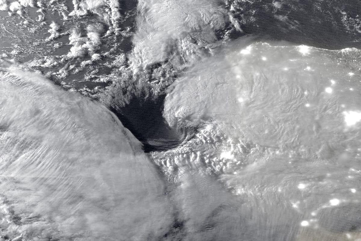
The atmospheric rivers that soaked Portugal last winter carried as much moisture as climate models expect them to carry in the early stages of a high-emissions future, and in places more. That is the finding of a study published in the journal Geophysical Research Letters by four researchers from Spanish and Portuguese institutions, one of them also attached to the Universidade de Aveiro (University of Aveiro).
Atmospheric rivers are long, narrow bands of water vapour that carry moisture from the tropical and subtropical Atlantic towards land. When one stalls over a coast, it can bring days of heavy, persistent rain. The study looks at those that reached the Iberian Peninsula between October 2025 and February 2026, the season of storms such as Kristin.
What the researchers did
The team compared two sets of high-resolution simulations of the winter. One was driven by the weather that actually happened, from the ERA5 reanalysis. The other was driven by a climate model running SSP5-8.5, the highest-emissions scenario used by the Intergovernmental Panel on Climate Change. They then traced where each atmospheric river's moisture had come from.
According to the paper's summary:
- the amount of water vapour the atmospheric rivers transported matched the levels simulated for the early stages of the SSP5-8.5 scenario, and exceeded them locally by 10 to 15 percent;
- moisture drawn from the subtropical Atlantic was 5 to 20 percent stronger than in the high-emissions simulation;
- rainfall linked to the atmospheric rivers over the Atlantic-facing parts of the peninsula, which include most of mainland Portugal, matched or significantly exceeded the scenario's levels;
- a pattern of troughs and ridges in the middle of the atmosphere strengthened the west-to-east flow, which helped carry moisture over long distances.
The authors conclude that today's extreme atmospheric rivers "can generate moisture transport and hydrological impacts comparable to early transient high-emission projections". The study is a set of model experiments for a single season. It does not say how often a winter like this one will recur.
What the winter looked like on the ground
The official record from the Instituto Português do Mar e da Atmosfera (IPMA, the Portuguese Institute for Sea and Atmosphere) shows how extreme the season was:
- January was the second wettest since 2000. Every station IPMA analysed passed its average for the month, and by the end of it soils in every municipality were at or near saturation. Storm Kristin brought a gust of 172.4 km/h at Ansião on 28 January, the highest on IPMA's network that month (January bulletin, in Portuguese).
- February was the wettest in 47 years and the fifth wettest since 1931. The mainland averaged 241.7 mm of rain, 329 percent of normal, and some places had more than five times their usual amount (February bulletin, in Portuguese).
- By the end of February, 924 mm had fallen since 1 October, which IPMA put at 1.8 times the average.
The new paper adds to two earlier pieces of work on the same winter. In February, a World Weather Attribution analysis found that climate change had made the heaviest rain about 30 percent more intense. In October, researchers at the Universidade de Évora described how they sent weather balloons into seven atmospheric rivers and plan to do so again.
This winter
IPMA's latest seasonal outlook, published on 20 October, expects a warmer and wetter winter than normal from November to January, with the extra rain spreading across the whole mainland from December. A seasonal outlook cannot say whether any single atmospheric river will arrive. Residents in flood-prone areas should follow the weather warnings on IPMA's website, which are issued district by district.