IPMA Forecasts 35°C in the Alentejo and Tejo Valley From Sunday Through Tuesday as a North African Air Mass Drives the First Sustained Heat Spell of 2026 — DGS Reissues the Mid-Day Sun Advisory and Hydration Note Into the Long Weekend
IPMA's Saturday-evening outlook calls 35°C across the Alentejo and Tejo Valley between Sunday and Tuesday as a North African air mass with Saharan dust drives mainland Portugal's first sustained heat spell of 2026 — DGS reissues the hydration and mid-day sun advisory ahead of the long weekend.
The Instituto Português do Mar e da Atmosfera (IPMA) issued its three-day national outlook on Saturday evening calling the first sustained heat episode of 2026 across mainland Portugal between Sunday 24 and Tuesday 26 May, with the Alentejo and Tejo Valley running the upper end of the print and the Algarve, the Mediterranean fringe of Castelo Branco and the Vila Real district sitting one tier below. The mass-of-origin is a continental air block advected from North Africa, carrying suspended dust over the Iberian peninsula and lifting daytime temperatures well above the 1991-2020 climate normal for the late-May reference window.
The Numbers That Matter for the Weekend
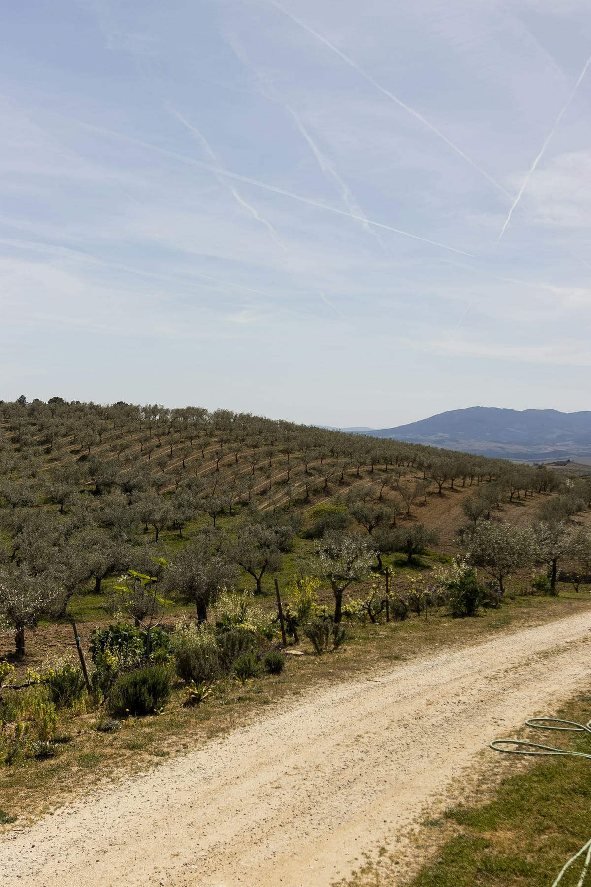
The Beja and Évora stations are forecast to peak at 35°C on Monday and Tuesday, with the Tejo Valley between Santarém and Abrantes running 33-35°C on the same window. Castelo Branco and Vila Real in the central and northern interior carry the secondary print at 31°C on the peak afternoons; the northern coast — Porto, Viana do Castelo and the Minho coastline — holds the cooler reference of 25-27°C as the Atlantic flow buffers the continental mass. Lisbon tracks the western coastal influence and is forecast at 30-32°C across Monday and Tuesday, lifting to a single-day peak of around 33°C on the Tuesday afternoon before the Atlantic flow reasserts later in the week.
The IPMA seasonal-overlay reading frames the run as the first concrete evidence in 2026 of the above-normal temperature probability the agency had pencilled into the April-May-June outlook published in late March. The North African origin is the classic synoptic driver of mainland Portugal's first heat spell of the year — a southerly advection from the Saharan margin that lifts the 850-hPa level above the +20°C threshold across the Iberian interior and pushes the daytime surface readings into the mid-30s in the Alentejo basin.
The Suspended Dust Layer
The air mass carries suspended Saharan dust — the poeiras do Saara signal that the IPMA flags in its bulletin as a parallel air-quality input. The dust translates into reduced visibility on the eastern interior corridors, a milky-tinged sky at sunrise and sunset, and elevated PM10 particulate readings on the APA QualAr air-quality network through Sunday and Monday. The Agência Portuguesa do Ambiente has not, on the Saturday-23-May tape, lifted the air-quality bulletin to fraca across any monitoring zone, but residents with respiratory sensitivities should track the QualAr live read across the interior cluster (Castelo Branco, Beja, Évora, Portalegre) through Tuesday.
The DGS Health Advisory
The Direcção-Geral da Saúde reissued the standard hot-weather public-health advisory on Saturday evening — the familiar list of measures that bears repeating ahead of the peak window:
- Increase fluid intake — water rather than sugary drinks — across the day; do not wait for thirst before drinking.
- Avoid direct sun exposure between 11:00 and 17:00, the four-hour core window when ultraviolet radiation and surface temperature peak simultaneously.
- Use light, loose-fitting clothing in light colours; wear a hat or cap and broad-spectrum sunscreen of SPF 30 or higher on exposed skin.
- Limit outdoor physical activity to the early-morning and late-evening windows; reschedule sporting events from the peak heat hours.
- Check on vulnerable household and neighbourhood members — the elderly, infants, anyone with chronic respiratory or cardiovascular conditions, and people on certain medications (diuretics, antihistamines, beta-blockers) which interact with thermoregulation.
- Never leave children or pets unattended in parked vehicles, where interior temperatures cross the safety threshold within minutes.
The Fire-Risk Overlay
The Civil Protection authority (ANEPC) carries the parallel rural-fire-hazard reading through the spell. The ICNF Índice de Risco de Incêndio Rural (FWI) moves to elevado and muito elevado across much of the southern and central interior — Beja, Évora, Portalegre, Castelo Branco and parts of Santarém and the Algarve interior — for Monday and Tuesday. The ban on open-air burning of agricultural residues remains in force through 30 September across the rural perimeter; the parallel restrictions on outdoor fireworks, machinery operation in vegetation, and recreational fires apply through the heat spell window. The DECIR 2026 fire-fighting deployment in Alentejo Central is already in its preparatory phase ahead of the formal Delta-phase opening on 1 July. On the heat, weather and wildfire side of the file, our coverage of the 40C heatwave warning and the rising wildfire risk sets the latest reference.
What This Means for Expats
- Long-weekend planning: if you are travelling into the Alentejo or Tejo Valley over the Monday or Tuesday, pencil in an early-morning departure and an extended midday break. The Évora-Beja-Mértola axis is at the upper end of the heat print.
- Beach trips: the Atlantic coast remains the cooler option — Lisbon and the Algarve coastal strip sit 3-5°C below the interior peak. Sea-surface temperatures are still in the 17-18°C range, so the water itself is on the colder end of the early-bathing window.
- Air quality: respiratory-sensitive readers should consult QualAr through Sunday and Monday for live PM10 readings, particularly across the interior cluster.
- Outdoor sport: reschedule running, cycling and equivalent vigorous activity to before 09:30 or after 18:30 across the peak window. The Festas de Lisboa programme opening on 29 May sits on the back end of the spell, when Atlantic flow is forecast to reassert.
- Pets: the same mid-day window applies — walk dogs early morning and late evening; pavement and tarmac temperatures cross the paw-burn threshold by mid-morning in the interior.