São Jorge Felt by All of the Açores Central Group — IPMA Reads a 4.6-Magnitude Tectonic Earthquake South of Santo Antão at 12:21 Sunday, Intensity V on Mercalli and One Landslide at Fajã dos Cubres
The Instituto Português do Mar e da Atmosfera registered a 4.6-magnitude earthquake at 12:21 Sunday afternoon, with the epicentre roughly six kilometres south of Santo Antão, on the south coast of São Jorge island in the Açores. The maximum felt...
The Instituto Português do Mar e da Atmosfera registered a 4.6-magnitude earthquake at 12:21 Sunday afternoon, with the epicentre roughly six kilometres south of Santo Antão, on the south coast of São Jorge island in the Açores. The maximum felt intensity was V on the modified Mercalli scale, and the event was perceived across all islands of the central group — São Jorge, Pico, Faial, Graciosa and Terceira — with the lowest intensity recorded on Pico. The Centro de Informação e Vigilância Sismovulcânica dos Açores (CIVISA) confirmed the print within the hour.
One landslide, no injuries
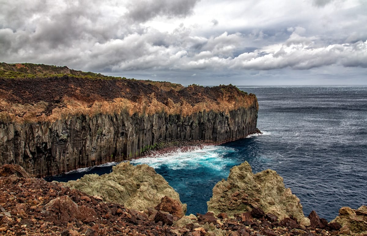
Civil protection recorded a single landslide that briefly blocked access to Fajã dos Cubres, on the Calheta municipality's north coast. The road was cleared within hours but remains under restricted access as a precaution. Small stones fell from rural walls along the south coast of São Jorge. There were no injuries, no significant building damage and no power-grid disruption, according to the Serviço Regional de Protecção Civil e Bombeiros. The Açores Regional Government's seismic-event protocol did not move to the higher-readiness phase, and the airport network in the central group operated normally through the afternoon.
'Different characteristics' — the tectonic read
The Sunday event is the most significant São Jorge seismic print in a year. Rita Carmo, of the CIVISA team, told regional broadcaster RTP/Açores the event 'has different characteristics' from the volcano-tectonic swarm that defined the central group's seismic tape between March 2022 and late 2023. That earlier sequence was linked to subsurface magmatic-fluid movement and produced thousands of small low-magnitude events without a large single rupture. The 12:21 Sunday event, by contrast, sits cleanly in the tectonic category — a single discrete rupture on the regional plate-boundary structures that run between the Faial-Pico Fracture Zone and the Açores Triple Junction. CIVISA's confidence in the tectonic classification rests on the depth profile (around 10 km) and the absence of the precursor low-frequency swarm typical of volcano-tectonic events.
What the central group has been watching since 2022
The 2022 São Jorge crisis pulled the central group into a fifteen-month elevated-alert period that closed only in early 2024 when the Civil Protection alert level was returned to the baseline. Fajã dos Cubres and Fajã de Santo Cristo, the two coastal hamlets directly on the south-coast fault line, have been the standing concern throughout. The 12:21 event delivers exactly the geometry — south of Santo Antão, shallow, on the same coastal trace — that the 2022 contingency plan was designed for. The fact that civil protection did not escalate beyond a single road restriction is the cleanest evidence yet that the 2022-2024 institutional build-out functioned as designed.
The seismic baseline going forward
The Açores sit on the seam between the Eurasian, North American and Nubian plates, and the central group records a structural background of around two hundred felt events per year. The 4.6-magnitude print is in the upper decile of that baseline. CIVISA's monitoring infrastructure — twenty-one broadband stations across the archipelago, real-time telemetry to the Faial command — is now the densest in southwestern Europe per square kilometre. Sunday's event, processed and classified inside an hour, is a working print of that capacity.
Sources: IPMA seismic bulletin; CIVISA event report; RTP Açores; Serviço Regional de Protecção Civil e Bombeiros dos Açores; Centro de Informação e Vigilância Sismovulcânica dos Açores.